Throughout the township of Bonnie Doon, there are a total of 12 sightseeing locations with signboards. Each signboard will tell you some of the history of Bonnie Doon, and also have a QR code to direct you to these pages on our website. These codes when scanned with a smart phone or tablet provide additional informative text/images that create an interactive walk throughout the history of the Doon. You can follow along the history here on our website or better yet, get out on the trail and take a wander through Bonnie Doon – follow the signs that go along with along with these pages. We hope you enjoy your walk back in time.
The Old Township of Bonnie Doon
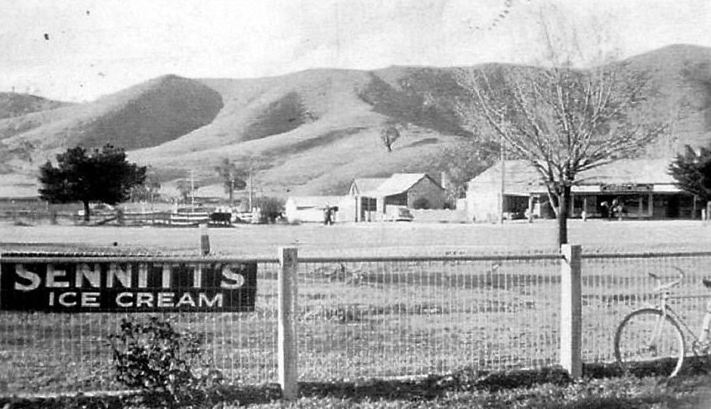
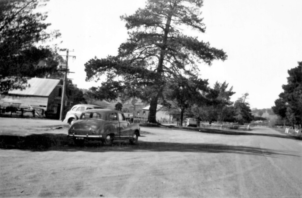
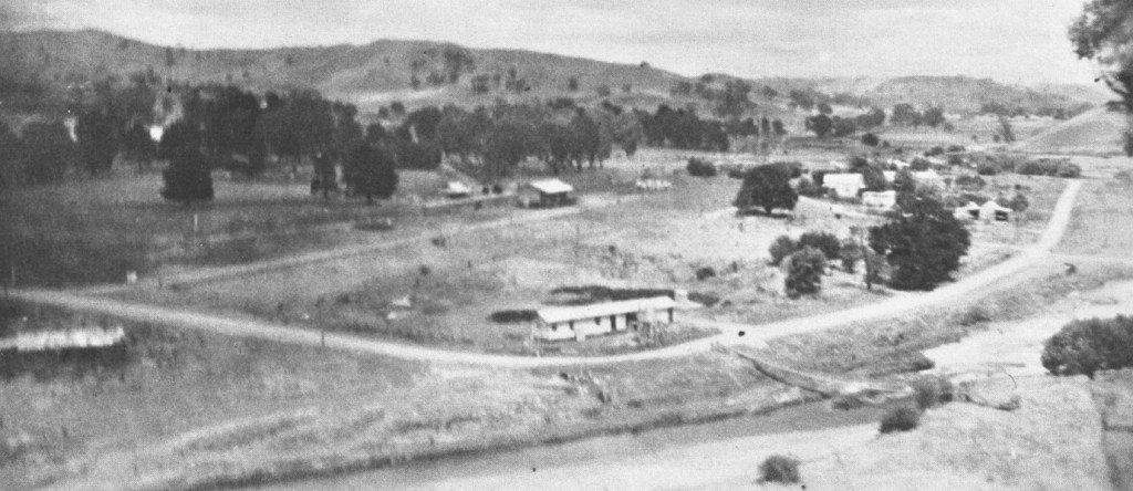
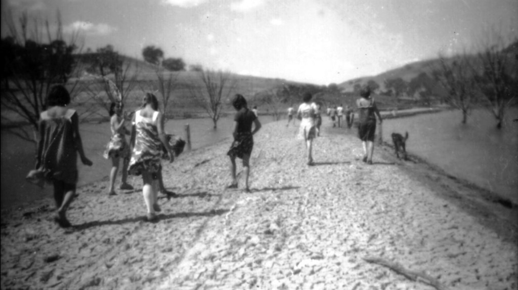
Starting in 1953, many homes from the original Bonnie Doon township were moved to their present location as the waters of Lake Eildon steadily rose. In 1955, as a result of significant rainfall, water levels ensured a very rapid rise of the water level, filling the lake and submerging prime agricultural land, landmarks and a location that many pioneering families called ‘home’.
Residents were forced to create a new home for themselves in a ‘new’ Bonnie Doon, located about 500m west of the original town site. Of course, there were residents who preferred to move away altogether, while others could not envisage living anywhere else but in Bonnie Doon.
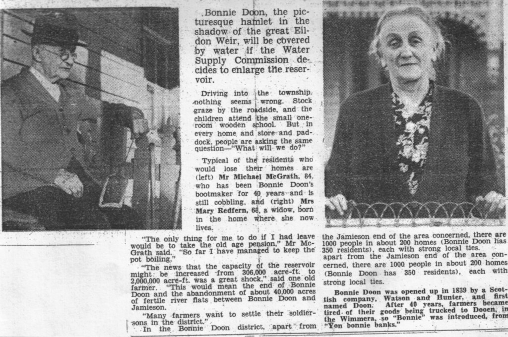
The enlarged lake may have had detrimental impact on the character of Bonnie Doon from a uniquely agricultural and farming perspective, but it saw the development of recreational endeavors such as water skiing and boating.
Water sports ensured an influx of holiday makers and weekend residents, this inevitably changed the original character of the town of Bonnie Doon from an agricultural/farming community to a bustling tourist driven economy.
This walk crosses the traditional lands of the Taungurung people and the Bonnie Doon Community acknowledges them as the traditional owners of the land. We also pay our respects to all Aboriginal and Torres Strait Islander people.
